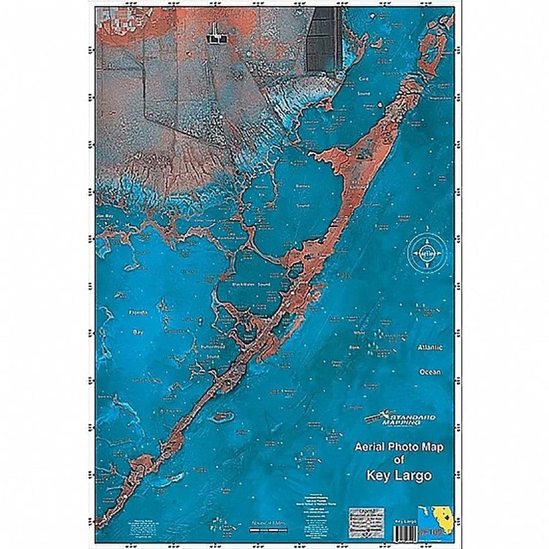
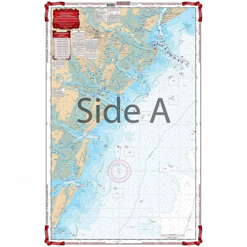
This satellite aerial photo map is the perfect tool for the fisherman or outdoor enthusiast. The high resolution satellite photo map allows the inshore fisherman to see more accurate detail and hidden spots than that of traditional navigation chart. Backwa
Flash Sale Ongoing
This satellite aerial photo map is the perfect tool for the fisherman or outdoor enthusiast. The high resolution satellite photo map allows the inshore fisherman to see more accurate detail and hidden spots than that of traditional navigation chart. Backwater areas come alive in this map. Get to places most people don’t know about!
Reviews
There are no reviews yet.